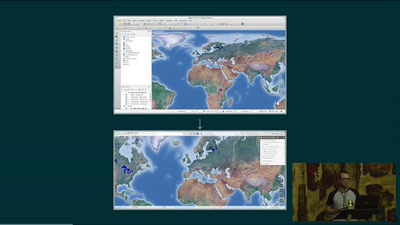
In this keynote, we’ll explore the explosive growth in quantity of geospatial data, and how this is fueling the need to more frequently join geospatial data with traditional data. We’ll explain how those new scale requirements demand a massive improvement in speed, and how GPUs can be used to accelerate the querying of geospatial data using an open source in-GPU-memory SQL database. Finally, we will demonstrate interactive analysis of the entire, global Open Street Map dataset as an example of what is now possible.
None

