See that little map on the geoserver.org web site? While looking a lot like plain OpenStreetMap tiles, it’s actually rendered by a GeoServer, using CSS styles, off a PostGIS database.
The map aims to be a very close clone of the actual OSM official one, meaning it has a lot of little details often removed from lookalikes to reduce the data to be loaded and rendered.
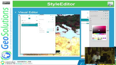
This presentation will provide a little history of its development, the performance added to speed up its rendering, a good look at the styles styles used, and the overall setup and the of the GeoServer, both in terms of physical deployment, configuration and tuning.
Finally, we’ll show an alternative setup and map, still working on GeoServer, but based on styles and data from the OpenMapTiles project.
None

