Search for "M" returned 12119 results
10 min
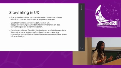
Lightning Talk: Storytelling: Master-Key zur besserer UX
Angefangen von Neuronen bis hin zur Kreativität für…
40 min
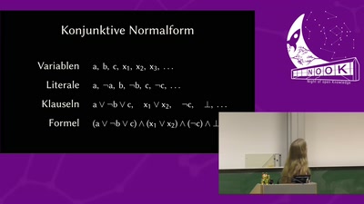
Wie funktionieren SAT-Solver?
Ein Einblick in die Implementierung eines SAT-Solvers

52 min
MIRANA – Ein mobiler Roboterassistent
Darstellung verschiedener Methoden der Robotik an einem…
49 min
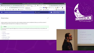
E-Mail Infrastruktur
Einen Mailserver ohne legacy IP betreiben
59 min
Arbeiten ohne Chefs
Was machen Mitarbeiter in einem selbstorganisierten…
78 min
Einführung in SAT-Solver
Was sind SAT-Solver und wie verwende ich diese?
28 min
Putting your money on locales
Du hast 5 Geld in der Schweiz – wo ist dein Währungssymbol?
67 min
Ziviler Ungehorsam bis zum Gefängnis
Die geistigen Grundlagen des Zivilen Ungehorsams und seine…
46 min
Wie werden IT-Projekte erfolgreich?
Was unterscheidet erfolgreiche IT-Projekte von kaputten…
37 min
Bildungshomöopathie
Wir durchleuchten Mythen über das Lernen mit und ohne Medien

55 min
Ich will doch nur entwickeln!
Was ich als Entwickler über die Cloud wissen sollte
10 min
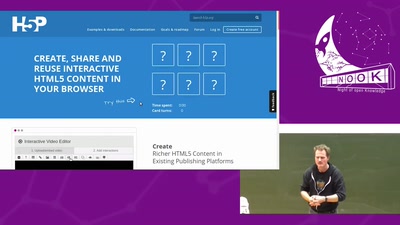
Lightning Talk: Freies Wissen frei vermitteln – mit H5P
Ich zeige, wie ihr mit H5P Wissen mal anders unter Leute…

91 min
Urbane Archäologie in der Mongolei
Archäologische Forschungen in den alten Hauptstädten der…
43 min
Teams und Roboter: Gemeinsam mehr erreichen
Wann können wir im Team mehr erreichen und wie viele sind…
37 min