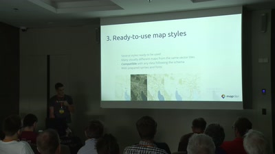
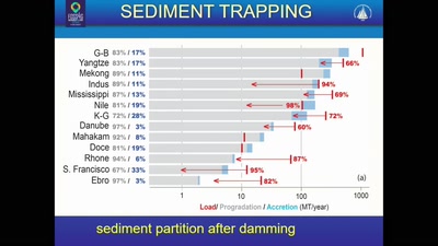
Working with the software for geospatial data visualization or analysis, we always spend time to change styles, define the extent, grid size or influenced area. It is not just a time-consuming activity and a threshold for newcomers - for lot’s of cases using default parameters could mislead the researcher and return inappropriate results. It’s time to change it over.
None

